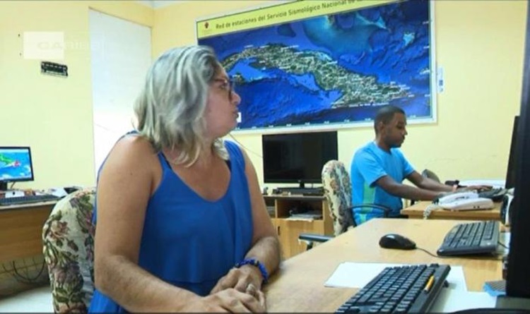
HAVANA, Dec 11 (NNN-ACN) — The National Center for Seismological Research ( CENAIS by its Spanish acronym) highlighted on X the first tsunami danger map for the Cuban coasts obtained by specialists of that scientific-technical institution.
Cuba has its tsunami danger map, CENAIS published in reference to the new research result, according to which the localities most exposed to this type of event are Maisi, Baracoa and Moa, located in the northeastern part of the country, and the beaches on the northern coast of the eastern half, among them Cayo Satia, Guardalavaca and Cayo Coco.
The presentation of the new map was made in the context of the 11th International Congress on Disasters, which is in session at the Convention Center in Havana, together with the 7th International Conference of Firefighters.
The study was developed with all the scientific precision and the actuality of the methodology used, where the data of all the faults with the potential to generate earthquakes capable of producing tsunamis in the geographical area of interest for the country were used.
Although the danger of tsunami is not high in Cuba, there is a certain risk associated with the occurrence of strong earthquakes in a segment of the North Hispaniola fault, located north of Haiti and the Dominican Republic, hence the importance of having this map.
The research showed that in southern Cuba there are no seismotectonic conditions for the occurrence of earthquakes that trigger tsunamis, which is consistent with the fact that none of the strong earthquakes that have occurred in the Eastern fault, let alone in the Caribbean, have generated phenomena of that nature, with damage to the coasts of the Cuban archipelago. — NNN-ACN